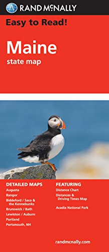
Easy To Read: Maine State Map
Product Description
Easy To Read: Maine State Map
Rand McNally's Easy To Read State Folded Map is a must-have for anyone traveling in and around Maine, offering unbeatable accuracy and reliability at a great price. Our trusted cartography shows all Interstate, U.S., state, and county highways, along with clearly indicated parks, points of interest, airports, county boundaries, and streets.<br>The easy-to-use legend and detailed index make for quick and easy location of destinations. You'll see why Rand McNally folded maps have been the trusted standard for years.<br><br> 48% larger map with a bigger type size than the Rand McNally Folded Map<br> Clearly labeled Interstate, U.S., state, and county highways<br> Indications of parks, points of interest, airports, county boundaries, and more<br> Mileage and driving times map<br> Detailed index<br> Convenient folded size<br><br>Detailed maps of: Acadia National Park, Augusta, Bangor, Brunswick/Bath, Kittery/Portsmouth, NH; Lewiston/Auburn, Portland, Saco/Biddleford
Technical Specifications
You might also like

Rand McNally Easy To Read: New Hampshire, Vermont

Massachusetts State Map

Rand McNally New England Regional Map

Rand McNally Easy To Read: Connecticut, Rhode Island

Rand McNally Easy To Read: New York State Map
Rand Mcnally Easy To Read: Pennsylvania State Map

Nova Scotia

Maine Lighthouses Illustrated Map & Guide

Explorer's Guide Maine (18th Edition) (Explorer's Complete)

Maine Atlas & Gazetteer (Delorme Atlas & Gazetteer)